50 Holes in 50 Miles: 11-24-15 BSAR Aerial River Survey*

Two open holes in front of Wassilie B. Evan's camp. There are 30 open holes in Kuskokwaq Slough alone

Two open holes in front of Wassilie B. Evan’s camp. There are 30 open holes in Kuskokwaq Slough alone

Summary: Today BSAR members flew with Earl Samuelson to survey 60 miles of the Kuskokwim from Napaskiak to Tuluksak. With warm temperatures, strong southerly winds, and rain stalling winter again the Lower Kuskokwim River is no place to be traveling right now.

Over 50 open holes were counted along 50 miles of the River. In addition the recent storm has brought deep overflow to all parts of the Lower River affected by the tide.

MAJOR DANGER: Open holes at the upper, middle, and lower end of Straight Slough

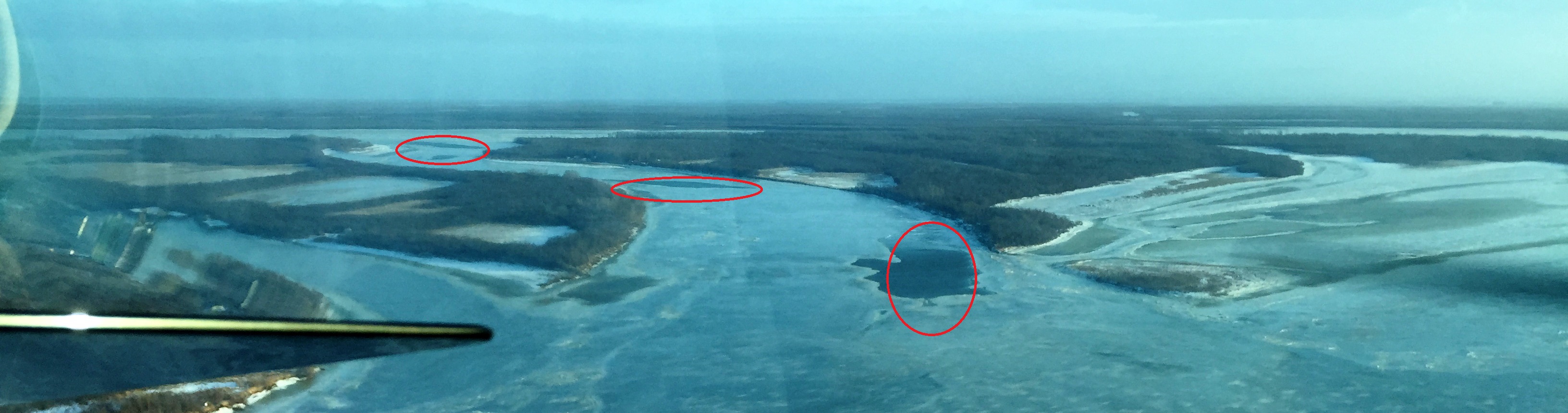
MAJOR DANGER: Open holes at the upper, middle, and lower end of Straight Slough. This is looking upsream from the lower end

The darkness of open water. These large open holes are formed when the flowing ice jams in a narrow channel upstream

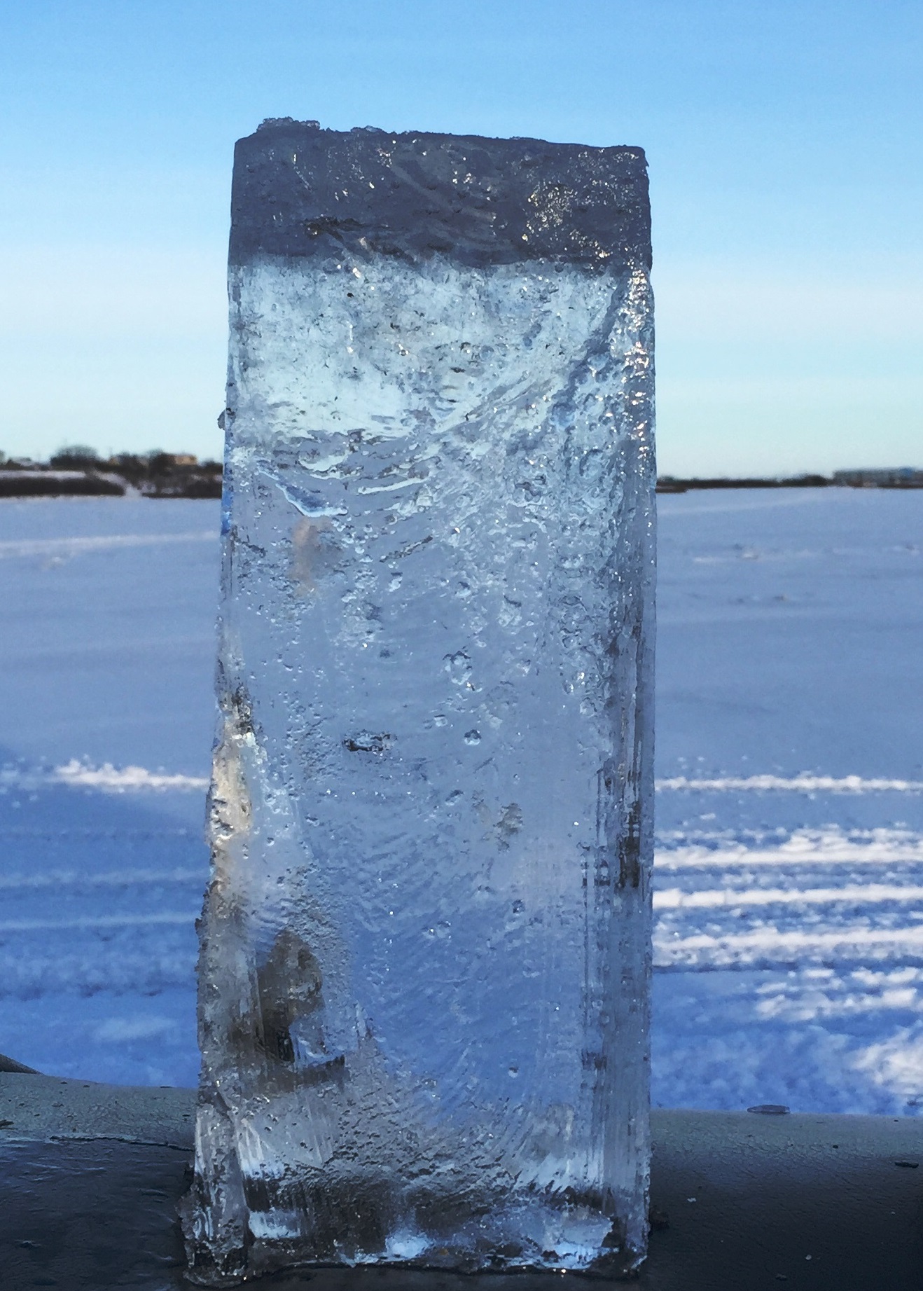
The darkness of open water: These large open holes are formed when the flowing ice jams in a narrow or shallow channel upstream

The remainder of what was once a large hole. There are many of these smaller open areas scattered all throughout the River. A little cold weather will finish closing them up

SMALL BUT DEADLY: The remainder of what was once a large hole. There are many of these smaller open areas scattered all throughout the River. A little cold weather will finish closing them up

Looking downstream at the upper end of Kuskokwaq Slough. This open holes is just around the bend from where we lost 3 people in 2014 (yellow arrow)

Looking downstream at the upper end of Kuskokwaq Slough. This open hole is just around the bend from where we lost 3 people in 2014 (yellow arrow)

Closing: It was good to get up in the air with Earl again. We’ve missed working with him since he retired from the Alaska State Troopers last winter.

As you can see from these pictures no inter-village main river travel is recommended at this time. The glare ice with water on top makes it even harder to see the dozens of open water holes that are out there right now. A little cold weather will heal up the smaller ones then Kuskokwim SAR groups will start working on the bigger ones that will stay around for awhile.

Please be patient and if you must travel use the back trails.

And please don’t let anyone travel that has been drinking.

Thank you and Happy Thanksgiving from BSAR.

*This report is not an advisory that it is safe to travel. It is for informational purposes only.

11-22-15 Bethel Area Ice Report*

Sample of ice from mid-channel near the Crowley fuel dock

Sample of ice from mid-channel near the Crowley fuel dock

With cooler temperatures and fresh snow People are getting anxious to get started on their usual winter activities.

A BSAR team did an initial assessment of ice conditions in the immediate Bethel area today.

The area assessed was from the upper end of Oscarville Slough to the lower end of Church Slough. This is what they observed:

Ice thickness

Mid Channel straight out from the upper end of Oscarville Slough – 8″. There appears to be a well-traveled trail to Oscarville and Napaskiak using Oscarville Slough.

Bethel waterfront from Crowley to Brown Slough averaged 10″

The mouth of Straight Slough – 8″

10" of mostly good clear ice along the Bethel waterfront

10″ of mostly good clear ice along the Bethel waterfront

DANGER: STRAIGHT SLOUGH IS WIDE OPEN AT BOTH THE UPPER AND LOWER ENDS

Open water danger at the lower end of Straight Slough

Open water danger at the lower end of Straight Slough

Main River crossing to lower end of Church Slough – 8″ – No established trail through Church Slough at this time.

Additional Observations:

The safest and most heavily traveled routes from Bethel to the nearby villages is still by the back (overland) trails.

No open water is marked at this time and these dangerous areas are extremely hard to see in low light/low visibility.

As conditions improve Kuskokwim SAR trams will be working to mark the holes and established safe trails.

Additional updates will be provided as more information comes in. We hope to do an aerial survey before Thanksgiving.

Thank you & safe travels from BSAR

*Please note that this in not an advisory that it is safe to travel. It is for informational purposes only.